On Tuesday there was a lot of talk about freezing rain events, ice storms, and the like. There was also a lot of confusion and misinformation about what happened Tuesday evening as precipitation moved in.
As I will describe, there was a lot of above-freezing rain falling on cold surfaces, but very little freezing rain. Few locations experienced freezing rain, but some locations had rain that froze on localized cold surfaces.

So what exactly is freezing rain?
Here is the definition provided by the National Weather Service:
The Wiki definition is pretty much the same:

The figure below illustrates a freezing rain situation (from NOAA).
Aloft, where the air is below freezing, all precipitation is in the form of snow. Certainly true this week.
Then the snow falls into a layer above freezing and the snow melts into raindrops. The water in these raindrops is above freezing.
Then the raindrops fall into a modestly deep BELOW FREEZING layer and raindrops cool below freezing (32F, 0C) but remain as water.
Yes, believe it or not, liquid water can cool below freezing and stay liquid. This is called supercooled water.

Supercooled water has been described as “liquid dynamite” because if it hits a surface below freezing, it freezes on contact. Instant and profound icing that can be very dangerous.
Freezing rain can accumulate on trees, causing branch failures and power outages. It can fall on subfreezing roads causing near-instant glazing, resulting in accidents.

And it can cover aircraft with ice, halting operations.
This is NOT what happened on Tuesday evening over Puget Sound country. Very little freezing rain occurred. Very little impact occurred.
I can prove that this was not a freezing rain event by showing you the temperatures above SeaTac Airport on Tuesday. The figure below presents winds and temperatures at the airport based on sensors on incoming and outgoing aircraft.
At 7 PM, the freezing level was ABOVE 5000 ft. Temperatures were above freezing all the way to the surface. A narrow band of precipitation was just reaching Seattle at this time (shown by radar image below).
The snow aloft fell into the warm air below and rapidly melted (it takes about 1000 ft to melt snow into rain).


7 PM weather radar
By 10 PM, the precipitation band was over Puget Sound (and would be through by about 1 AM)–see below. Temperatures were still above freezing through much of the lower atmosphere, except for a narrow layer where evaporation of falling rain cooled the air to near freezing. The surface air temperature at SeaTac at 10 PM was 31F.

10 PM radar
However, such a shallow layer of near-freezing air did not warm the rain by much and it hit the ground above freezing (I measured the temperature of the rain at my house that night and it was roughly 35F).
Thus, this was not a freezing rain event.
Freezing rain sensors at both Olympia and Boeing Field did not report freezing rain at any time. At SeaTea (which is relatively high at 452 ft) it reported light freezing rain for one hour only (which may be a sensor issue).
Unlike true freezing events, there were few reports of accidents, roadway closures, falling trees, or power outages.
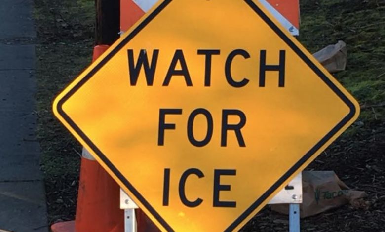
But some folks reported localized icing. What happened if this was not freezing rain?
Answer: It was rain, relatively warm rain, the froze eventually in some locations where the surface was below freezing.
We had just finished one of the coldest periods during the last 30 years in our region Looking at 3-day stretches, the period ending January 14th had the coolest average high temperatures (26F) in the period. Many surfaces were cooled down.

But now it gets complicated, December was relatively warm and the soils below the surface were above freezing. For roads in contact with warm soil, many were above freezing on Tuesday evening, with the above-freezing air temperatures that day helping to prevent freezing surface conditions. With relatively warm rain, there was no ice.
Thus, most/roads were fine. But in places that were particularly cold (e.g., shaded locations) and where there was not good conduction of heat from below, the previous cold spell left a vulnerability to icing.
In short, this was not a freezing rain event where supercooled water freezes instantly on cold surfaces, but a situation with warm rain freezing on some chilled surfaces.
A subtle distinction perhaps, but an important one.