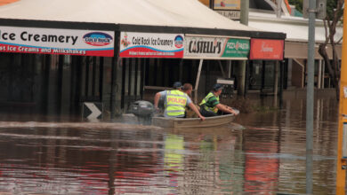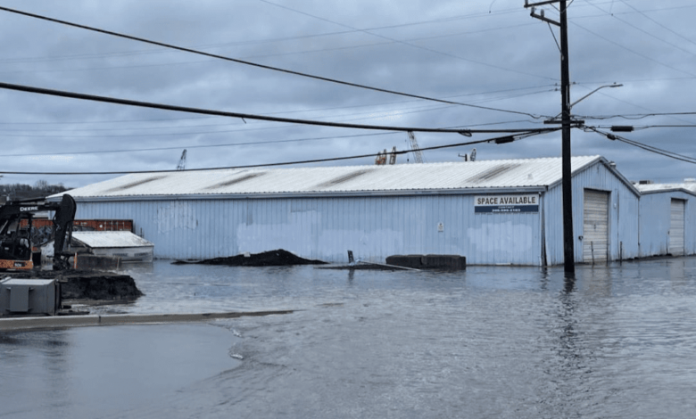
A number of media stories have been talking about King Tides and flooding during the past few days, and I have gotten several emails from worried readers.
So let’s talk about the reason for King Tides and evaluate the threat.

The highest tides of the year…the King Tides… typically occur this time of the year for two reasons.
First, the astronomical setup is ideal, because the Earth is closest to the sun around the New Year.
Second, this is the stormest time of the year, with Pacific cyclones associated with low pressure, and low pressure causes the water level to rise.
Monthly high tides, also known as spring tides, occur twice each month when the sun, moon, and earth are aligned.

And this alignment is enhanced during the winter because the Earth is closer to the sun during our cold period. Believe it or not, the Earth is nearest to the sun during our winter! (see below). Thus, the gravitational attraction of the sun is larger during winter, which produces a greater maximum daily tide: the KING TIDE.

Finally, regional low pressure increases the water level.
How much? When sea level pressure falls by 1 hPa (or 1 mb), the water level rises by about 1 cm. So a deep storm that causes pressure to fall by 25 hPa can result in a water rise of around 25 cm or roughly 10 inches.
Now let’s look ahead.
Take a look at the predicted astronomical tide levels for November, December, and January below (the green line is today). For November, tides will max out during the next few days around 12.5 ft above Mean Lower Low Water (MLLW), the average level of the lowest tide for each day computed over a 19-year period.

December will have a number of days (mainly during the middle and end of the month) that will get to the same level. Mini-King tides.

Mid-January will bring max tides that are a bit higher…around 13 feet….so that will be the time of greatest vulnerability.

There will be little problem of high tides and flooding without a strong low-pressure system moving in…so we need to watch the forecasts for the next few months. Right now pressure is well above normal…and will remain that way for several days.
Beyond, 10 days the forecasts have little skill…so we are going to have to wait and see.
Want to know about the forecast pressure for the next week? Check out the ensemble of many forecasts below for Seattle’s sea level pressure. Forecast uncertainty gets very large after December 2 (the forecasts are not in agreement).

The latest model run has a decent storm on December 3 (see sea level pressure forecast below) with a deep low-pressure center heading into Washington State. Fortunately, the astronomical tides will be low then.