Historically, the window for lowland snow over western Washington closes the last week of February.
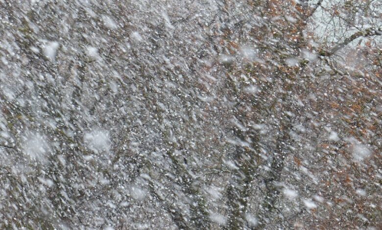
It appears that we are going to get some flakes before it is too late….. but not that many.

Let me start by showing you the latest forecast by the UW WRF prediction system. Below is the forecast sea level pressure and low-level temperature map for 10 PM tomorrow (Wednesday) night.

The latest UW high-resolution forecast for snow accumulation through 1 PM Thursday, shows some lowland snow from roughly Olympia to Chehalis, and plenty over the south Cascades. The southeast side of the Olympics gets a few flakes as well.
The Columbia Basin gets some light snow.

Nothing exciting perhaps, but snowflakes are always of interest. There is, of course, some uncertainty in the forecast, and the way to get at that is to examine an ensemble of many forecasts.
The City of Seattle SNOWWATCH website shows the ensemble forecasts for Seattle (see below). The gray lines are individual forecasts, and the ensemble average is in black. Many forecasts are going zero, but the average is about .5 inches and snow depth would be much less than that. Perhaps a dusting. Quite possibly nothing.

In short, I would not be getting the sled out, but you might spot a few flakes.